Covering the little and forgotten areas. This is a representation for those airports, all the spare info are compiled from Google, that´s why no one has to try to make it before, (no accurate textures and sizes) seasonals textures, triple autoinstaller for FSX, P3D3, P3Dv4, P3D5 and MSFS, screenshots, seasonals textures, photoreal terrain (for the field only), autogen, custom building, new ground lights and moving jetways.
martes, 4 de diciembre de 2018
KDXR danbury municipal airport FSX P3D
https://www.airnav.com/airport/KDXR
Danbury Municipal Airport (IATA: DXR, ICAO: KDXR, FAA LID: DXR) is a public use general aviation airport located three miles (5 km) southwest of the central business district of Danbury, in Fairfield County, Connecticut, United States.
The airport opened in 1930.
It is currently run by the city of Danbury under the management of Paul Estefan.
It is included in the Federal Aviation Administration (FAA) National Plan of Integrated Airport Systems for 2017–2021, in which it is categorized as a regional reliever airport facility
miércoles, 21 de noviembre de 2018
KLEB Lebanon Municipal Airport FSX P3D
http://www.airnav.com/airport/KLEB
Lebanon Municipal Airport (IATA: LEB, ICAO: KLEB, FAA LID: LEB) is a city owned, public use airport located three nautical miles (6 km) west of the central business district of Lebanon, a city in Grafton County, New Hampshire,
United States.
Also known as Lebanon Airport, it is the northernmost commercial airport in New Hampshire, near the Vermont border, off Interstate 89 just south of the junction with Interstate 91.
Other nearby towns include Hanover, New Hampshire and White River Junction, Vermont. The area is also the home of Dartmouth College and the Dartmouth-Hitchcock Medical Center.
jueves, 15 de noviembre de 2018
KICT Wichita KS FSX P3D
https://www.airnav.com/airport/KICT
Wichita Dwight D. Eisenhower National Airport (IATA: ICT, ICAO: KICT, FAA LID: ICT) is a commercial airport located about 7 miles (11 km) west of downtown Wichita, Kansas, United States.
It is the largest and busiest airport in the state of Kansas. ICT covers 3,248 acres (1,314 ha).
The airport is commonly referred to as Eisenhower National Airport or by its former name Mid-Continent Airport.
The airport's airport code, ICT, is also a commonly used nickname for the city.
martes, 23 de octubre de 2018
KTHL Tallahasse International Airport FSX P3D
https://www.airnav.com/airport/KTLH
Tallahassee International Airport (IATA: TLH, ICAO: KTLH, FAA LID: TLH) is a city-owned airport five miles southwest of downtown Tallahassee, in Leon County, Florida.
It serves the state capital of Florida, and its surrounding areas; it is one of the major airports in north Florida, the others being Pensacola International Airport, Northwest Florida Beaches International Airport, and Jacksonville International Airport. Despite its name, it does not yet service any international destinations
viernes, 19 de octubre de 2018
SYCJ Cheddi Jagan International Airport FSX P3D
https://skyvector.com/airport/SYCJ/Cheddi-Jagan-International-Airport
Cheddi Jagan International Airport (IATA: GEO, ICAO: SYCJ), formerly Timehri International Airport, is the national airport of Guyana.
The airport is located on the right bank of the Demerara River in the city of Timehri, 41 kilometres (25 mi) south of Guyana's capital, Georgetown.
It is the larger of the two international airports serving Georgetown with the other airfield being the Ogle Airport.
martes, 16 de octubre de 2018
GABS Bamako's Modibo Keita International Airport FSX P3D
https://skyvector.com/airport/GABS/Modibo-Keita-Senou-Airport
Bamako's Modibo Keita International Airport (IATA: BKO, ICAO: GABS) (formerly Bamako–Sénou International Airport) is Mali's main airport located approximately 15 kilometres (9.3 mi)
south of downtown Bamako, the capital of Mali in West Africa.
It is country's only international airport.
It is managed by Aéroports du Mali (ADM).
Its operations are overseen by the Malian Ministry of Equipment and Transport.
sábado, 6 de octubre de 2018
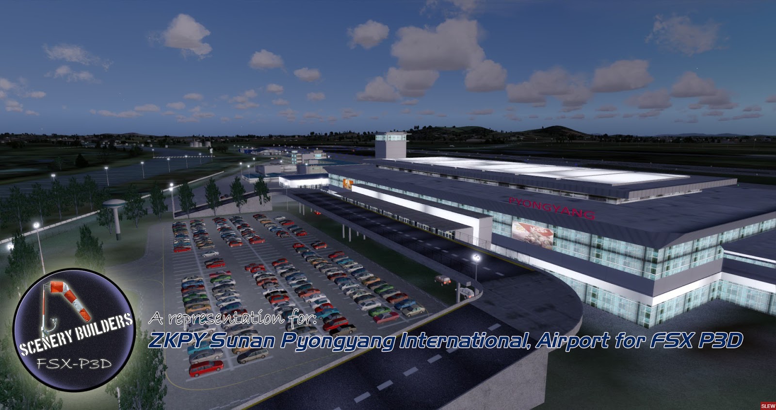
ZKPY Sunan Pyongyang International Airport FSX P3D
https://skyvector.com/airport/ZKPY/Pyongyang-Airport
Pyongyang International Airport (IATA: FNJ, ICAO: ZKPY), also known as the Pyongyang Sunan International Airport, is the main airport serving Pyongyang, capital of North Korea.
It is located in the city's Sunan District. By August 2018, only Air China and Air Koryo servicing in Pyongyang International Airport and the only two destination countries from Pyongyang International Airport are China and Russia.