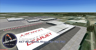
Covering the little and forgotten areas. This is a representation for those airports, all the spare info are compiled from Google, that´s why no one has to try to make it before, (no accurate textures and sizes) seasonals textures, triple autoinstaller for FSX, P3D3, P3Dv4, P3D5 and MSFS, screenshots, seasonals textures, photoreal terrain (for the field only), autogen, custom building, new ground lights and moving jetways.
jueves, 15 de noviembre de 2018
KICT Wichita KS FSX P3D
KICT Wichita KS FSX P3D
https://www.airnav.com/airport/KICT
Wichita Dwight D. Eisenhower National Airport (IATA: ICT, ICAO: KICT, FAA LID: ICT) is a commercial airport located about 7 miles (11 km) west of downtown Wichita, Kansas, United States.
It is the largest and busiest airport in the state of Kansas. ICT covers 3,248 acres (1,314 ha).
The airport is commonly referred to as Eisenhower National Airport or by its former name Mid-Continent Airport.
The airport's airport code, ICT, is also a commonly used nickname for the city.


