Covering the little and forgotten areas. This is a representation for those airports, all the spare info are compiled from Google, that´s why no one has to try to make it before, (no accurate textures and sizes) seasonals textures, triple autoinstaller for FSX, P3D3, P3Dv4, P3D5 and MSFS, screenshots, seasonals textures, photoreal terrain (for the field only), autogen, custom building, new ground lights and moving jetways.
domingo, 29 de julio de 2018
DXXX Lomé–Tokoin Airport FSX P3D
Lomé–Tokoin Airport (IATA: LFW, ICAO: DXXX), also known as Gnassingbé Eyadéma International Airport, is an airport in Lomé, the capital of Togo.
In 2014, the airport served 616,800 passengers.
ASKY Airlines, a subsidiary of Ethiopian Airlines, has had its hub at the airport since January 2010.
A new terminal at the airport opened in early 2016, and will allow for service for up to 2 million passengers annually.
martes, 24 de julio de 2018
KBGR Bangor International Airport FSX P3D
https://www.airnav.com/airport/KBGR
Bangor International Airport (IATA: BGR, ICAO: KBGR, FAA LID: BGR) is a joint civil-military public airport on the west side of the city of Bangor, in Penobscot County, Maine, United States.
Owned and operated by the City of Bangor, the airport has a single runway measuring 11,440 by 200 ft (3,487 by 61 m). Formerly a military installation known as Dow Air Force Base, Bangor International Airport remains home to the 101st Air Refueling Wing of the Maine Air National Guard, although most of the Air Force's aircraft and personnel left in the late 1960s. BGR covers 2,079 acres (841 ha) of land.
The airport owes its prosperity to its location on major air corridors between Europe and the East Coast of the United States.
martes, 10 de julio de 2018
KAZO Kalamazoo Battle Creek International Airport FSX P3D
https://www.airnav.com/airport/KAZO
Kalamazoo/Battle Creek International Airport (IATA: AZO, ICAO: KAZO, FAA LID: AZO) is a county-owned public airport 3 miles (4.8 km) southeast of Kalamazoo, in Kalamazoo County, Michigan, USA.
The airport is located approximately 20 miles (32 km) west of the city of Battle Creek. It is included in the Federal Aviation Administration (FAA) National Plan of Integrated Airport Systems
for 2017–2021, in which it is categorized as a non-hub primary commercial service facility.
domingo, 1 de julio de 2018
KAVL Asheville Regional Airport FSX P3D
https://www.airnav.com/airport/KAVL
Asheville Regional Airport (IATA: AVL, ICAO: KAVL, FAA LID: AVL) is a Class C airport near Interstate 26 near the town of Fletcher, 9 miles (14 km) south of downtown Asheville, in the U.S. state of North Carolina, United States.
It is owned by the Greater Asheville Regional Airport Authority.
It is included in the Federal Aviation Administration (FAA) National Plan of Integrated Airport Systems for 2017–2021, in which it is categorized as a non-hub primary commercial service facility.
domingo, 24 de junio de 2018
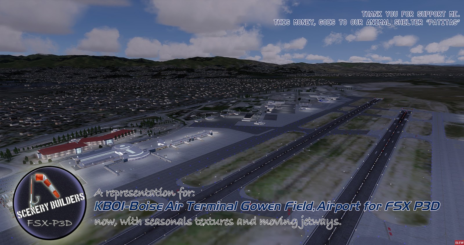
KBOI-Boise Air Terminal/Gowen Field FSX-P3D
http://www.airnav.com/airport/KBOI
Boise Airport (IATA: BOI, ICAO: KBOI, FAA LID: BOI) (Boise Air Terminal or Gowen Field)is a joint civil-military airport three miles south of Boise in Ada County, Idaho, United States.
The airport is operated by the city of Boise Department of Aviation and is overseen by an Airport Commission.
It is by far the busiest airport in the state of Idaho, serving more passengers than all other Idaho airports combined and roughly ten times as many passengers as Idaho's second busiest airport, Idaho Falls Regional Airport.
jueves, 14 de junio de 2018
KDAY James M Cox Dayton International Airport FSX P3D
https://www.airnav.com/airport/KDAY
Dayton International Airport (IATA: DAY, ICAO: KDAY, FAA LID: DAY) (officially James M. Cox Dayton International Airport), formerly Dayton Municipal Airport and James M. Cox-Dayton Municipal Airport, is ten miles north of downtown Dayton, in Montgomery County, Ohio.
The airport is within the city limits of Dayton, in an exclave of Dayton not contiguous with the rest of the city.
Its address is 3600 Terminal Drive, Dayton, Ohio 45377.
The airport is headquarters for American Eagle carrier PSA Airlines.
https://www.airnav.com/airport/KDAY
Dayton International Airport (IATA: DAY, ICAO: KDAY, FAA LID: DAY) (officially James M. Cox Dayton International Airport), formerly Dayton Municipal Airport and James M. Cox-Dayton Municipal Airport, is ten miles north of downtown Dayton, in Montgomery County, Ohio.
The airport is within the city limits of Dayton, in an exclave of Dayton not contiguous with the rest of the city.
Its address is 3600 Terminal Drive, Dayton, Ohio 45377.
The airport is headquarters for American Eagle carrier PSA Airlines.
miércoles, 6 de junio de 2018
KGON Groton-New London airport FSX P3D
https://www.airnav.com/airport/KGON
Groton–New London Airport (IATA: GON, ICAO: KGON, FAA LID: GON) is a state owned, public use airport located three nautical miles (6 km) southeast of the central business district of Groton, a town in New London County,
Connecticut, United States.
It is included in the Federal Aviation Administration (FAA) National Plan of Integrated Airport Systems for 2017–2021, in which it is categorized as a regional general aviation facility.
It serves the southeastern Connecticut region, including the shoreline localities of Groton, New London, and Mystic.