viernes, 4 de mayo de 2018

KAOO - Altoona–Blair County Airport FSX P3D


KAOO - Altoona–Blair County Airport FSX P3D
https://www.airnav.com/airport/KAOO

Altoona–Blair County Airport (IATA: AOO, ICAO: KAOO, FAA LID: AOO) is a county owned, public airport in Martinsburg, Pennsylvania, 14 miles south of Altoona, in Blair County, Pennsylvania.

It is owned by the Blair County Airport Authority.
The airport has a few airline flights, subsidized by the Essential Air Service program.


miércoles, 25 de abril de 2018

KSHD-Shenandoah Valley Regional Airport FSX-P3D


KSHD-Shenandoah Valley Regional Airport FSX-P3D
http://www.airnav.com/airport/KSHD

Shenandoah Valley Regional Airport (IATA: SHD, ICAO: KSHD, FAA LID: SHD) is a public airport located in Weyers Cave, Virginia; 10 nautical miles (12 mi, 19 km) northeast of the central business district of Staunton.
It is mostly used for general aviation, but is also served by one commercial airline. Service is subsidized by the Essential Air Service program.

The airport is operated by the Shenandoah Valley Regional Airport Commission, which consists of members from the cities of Staunton, Waynesboro and Harrisonburg, and the counties of Augusta and Rockingham.


jueves, 19 de abril de 2018

KHYA Barnstable Municipal Airport FSX P3D


KHYA Barnstable Municipal Airport FSX P3D
http://www.airnav.com/airport/Khya

Barnstable Municipal Airport (IATA: HYA, ICAO: KHYA, FAA LID: HYA), also known as Boardman/Polando Field, is a public airport located on Cape Cod, one mile (1.6 km) north of the central
business district of Hyannis, in Barnstable County, Massachusetts, United States. This airport is publicly owned by Town of Barnstable.

It is Cape Cod's major airport as well as an air hub for the Cape and the Islands (Martha's Vineyard and Nantucket). The airport is served by scheduled commercial flights as well as charters
and general aviation. Barnstable Municipal Airport served as a hub for Nantucket-based commuter airline Island Airlines until its shutdown in 2015


viernes, 13 de abril de 2018

KFAR Hector International Airport-Fargo FSX P3D


KFAR Hector International Airport-Fargo FSX P3D
http://www.airnav.com/airport/FAR

Hector International Airport (IATA: FAR, ICAO: KFAR, FAA LID: FAR) is a civil-military public airport three miles (5 km) northwest of Fargo, in Cass County, North Dakota, United States.
It is owned by the City of Fargo Municipal Airport Authority.

Fargo Air National Guard Base is located adjacent to the airport.
The airport was named after Martin Hector, who first leased, and then donated the original 50 acres of land to the city.

jueves, 5 de abril de 2018

KALB Albany International Airport FSX P3D


KALB Albany International Airport
http://www.airnav.com/airport/kalb

Albany International Airport (IATA: ALB, ICAO: KALB, FAA LID: ALB) is a public airport seven miles (11 km) northwest of Albany, in Albany County, New York, United States.

It is owned by the Albany County Airport Authority.
ALB covers 1,000 acres (405 ha) of land.

sábado, 24 de marzo de 2018

KHFD Hartford Brainard airport FSX P3D


KHFD Hartford Brainard airport
http://www.airnav.com/airport/KHFD

Hartford–Brainard Airport (IATA: HFD, ICAO: KHFD, FAA LID: HFD) is a towered public airport three miles (5 km) southeast of downtown Hartford, in Hartford County, Connecticut.
It is owned by the Connecticut Airport Authority.

It is included in the Federal Aviation Administration (FAA) National Plan of Integrated Airport Systems for 2017–2021, in which it is categorized as a regional reliever airport facility.


viernes, 16 de marzo de 2018

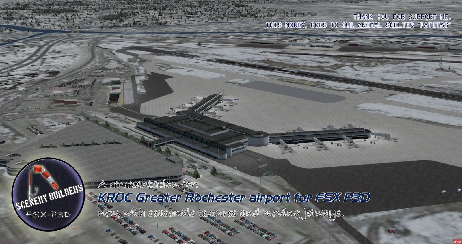
KROC Greater Rochester Airport FSX P3D


KROC Greater Rochester Airport FSX P3D
https://www.airnav.com/airport/KROC
http://www.airports-worldwide.com/usa/new_york/greater_rochester_intl_new_york.php

Greater Rochester International Airport (IATA: ROC, ICAO: KROC, FAA LID: ROC) is three miles (6 km) southwest of downtown Rochester, in Monroe County, New York.
It is owned and operated by Monroe County.